Mapping a Mountain

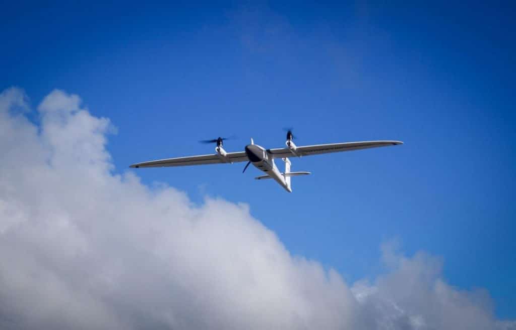
For a while now, we had been motivated to purchase a new UAV to replace our ageing DJI Matrice 200 (with nearly 150 hours on it). We needed something versatile, something that was able to take multiple payloads, it needed to have VTOL (vertical take-off and landing) capability, but most importantly it had to have […]
Monitoring Unstable Rocks on Bluff Hill

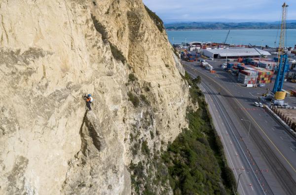
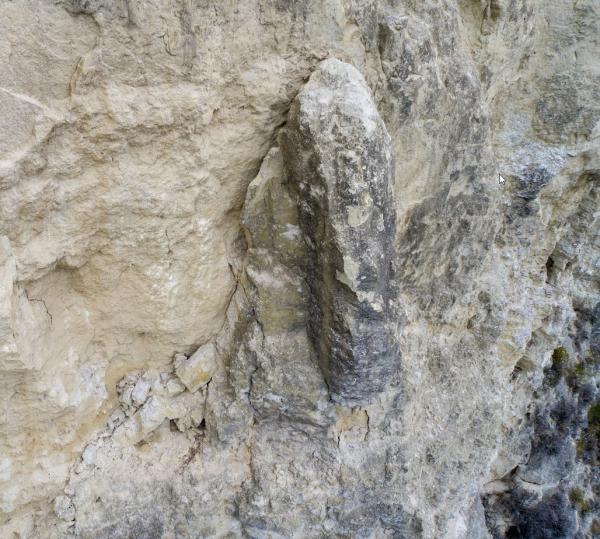
In 2019, The Surveying Company was asked to provide accurate 3D data of the cliff faces of Bluff Hill for inspection and monitoring purposes. The 3D model enabled geotechnical engineers to identify problem areas make informed decisions without the need to physically be at the site. A fly-through of the 3D model generated from drone […]
Bluff Hill in 3D

This was a great project we were lucky enough to be involved with. Working with Stantec and Napier City Council we created this 3D model of Bluff Hill. We used a Matrice 200 to capture imagery and Pix4D for processing. Thanks to Bluff Hill Bowling Club and Napier Port for their cooperation on this project. […]
